
By Lehlohonolo Lehana.
The South African Weather Service (SAWS) has issued a warning about a powerful Cut-Off Low (COL) system that is forecast to bring extreme conditions to every province, starting Saturday, 7 June 2025.
According to SAWS, the system will initially impact the Western and Northern Cape before sweeping eastward across the country early next week.
By Monday and Tuesday, it will be affecting the central and eastern provinces, bringing a dramatic drop in temperatures and a range of hazardous weather events.
Daytime temperatures are expected to plunge significantly, struggling to rise above 10°C in many areas, with icy winds intensifying the chill.
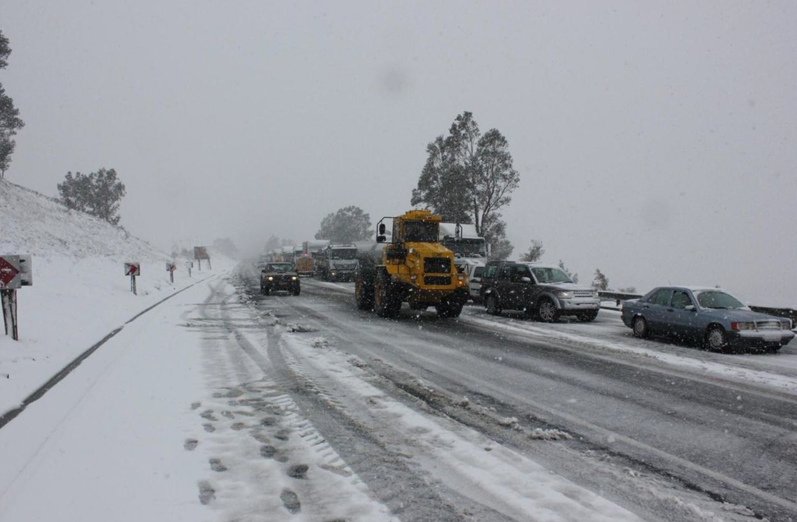
Snowfalls are anticipated in nearly every province, sparing only Limpopo, with some areas likely to experience disruptive accumulations.
For the thousands of participants in the Comrades 2025 ultramarathon scheduled for Sunday, conditions are expected to start off mild to warm, but runners should be prepared for a notable cool change later in the day.
As a coastal low and cold front progress northward along the KwaZulu-Natal coast, cooler, humid conditions will begin to settle in, possibly bringing showers or thunderstorms over Drakensberg, ultimately reaching the coastal regions in the evening.
In addition, severe thunderstorms are likely on Monday and Tuesday in provinces such as North West, Gauteng, Mpumalanga, and KwaZulu-Natal, possibly bringing hail and damaging winds.
These severe conditions are expected to persist in the eastern parts of the country until at least Wednesday.
SAWS has warned the public to prepare for prolonged exposure to bitterly cold weather, strong winds, and dangerous travel conditions in many areas.