
By Alex Patrick.
A “dramatic drop in temperature” is what the South African Weather Service (SAWS) is expecting towards the end of the week.
In a statement on Tuesday, SAWS said the cut-off low was expected to develop over the southern interior of the country, bringing snow to the Cape mountains on Wednesday.
The snow will spread to the peaks of the Drakensberg in Lesotho and KwaZulu-Natal on Thursday.
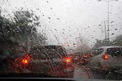
Along with the cold will come overcast and rainy conditions to parts of the Northern Cape, the North West, Gauteng, the Free State, KwaZulu-Natal and Mpumalanga.
These conditions will continue until Friday, with heavier rainfall in these provinces’ western and central parts.
SAWS warns that persistent rainfall will likely lead to localised flooding. Thunderstorms will become severe with “large amounts of small hail” and “gusty surface winds”.
It also warned motorists of ice on the roads.
The weather is expected to clear by Sunday.
“The public and small stock farmers are advised that the very cold, wet and windy conditions may pose a risk to livestock, vulnerable crops and plants. The public is also warned to keep warm during these cold conditions,” SAWS stated.
The service said there could be disruptive snow over the Eastern Cape mountains on Wednesday and Thursday. Snow is also expected in the Dr Beyers Naude Local Municipality, Graaff Reinet and the Chris Hani District Municipality. The Barkly East mountain pass will also be affected.
And, with the cold will come strong waves making it difficult to navigate small vessels on the southwestern and southern coast of the Western Cape.