
By Lehlohonolo Lehana.
During a media briefing held in Pretoria on Tuesday, SAWS Senior Manager of Disaster Risk Management, Rudzani Malala, emphasized the importance of vigilance and preparation.
As October and November in the Highveld region are known to be associated with severe storms, Malala urged people to remain vigilant.
SAWS, the only mandated regulatory body in the country that can issue weather warnings, is responsible for providing weather and climate warning services.
Malala emphasised that SAWS accurately predicted the system that caused the snow event and warned of its anticipated impact in advance.
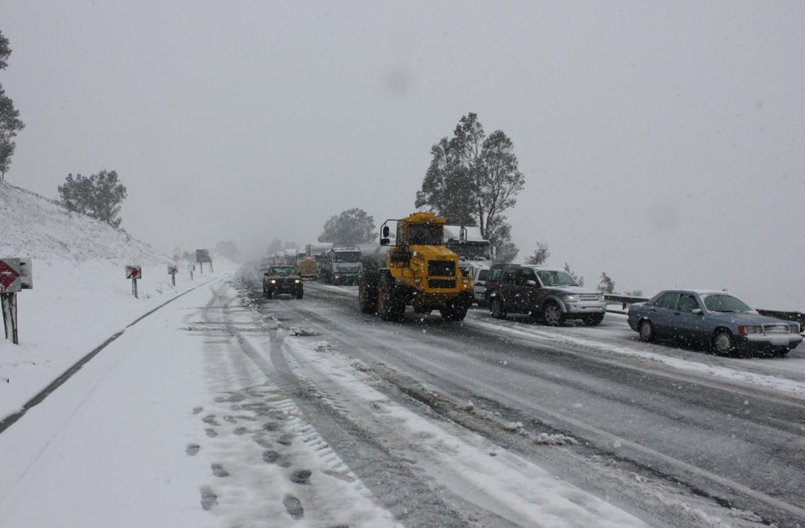
SAWS issued warnings as early as Wednesday, 18 September for disruptive snow and indicated that heavy snow could lead to icy roads and major traffic disruptions. It instructed people to avoid travelling on affected roads.
As predicted, a well-developed upper air cut-off low system produced widespread, deep snow (as much as 30-40cm, or more) of accumulated snow depth over the heritage weekend.
Malala also emphasised that snow in late winter and early spring was not unusual or rare.
He explained that South Africa was subject to varying weather conditions in different seasons due to its unique geographical location.
This is why when spring arrived this year, many South Africans experienced very hot conditions, with some parts undergoing heatwave conditions, and then later the opposite – snow – brought by the onset of a cold frontal system and a cut-off low system.
Malala explained that cut-off lows were intense low-pressure systems that were notorious for causing widespread flooding – evidenced by the devastating KZN flooding in April 2022.
“These weather systems can also bring damaging winds, severe thunderstorms and even snow, depending on the season in which they develop,” he said, adding that they were most frequent during autumn and spring, with the highest frequency in April.
Despite some light showers or rain expected over KZN and eastern Mpumalanga, and some thundershowers over Northern Cape in the week ahead, Malala said the weather was expected to be fairly benign with nothing particularly severe or extreme anticipated.
But he emphasised that people should remain vigilant as October and November were well known for severe storms, particularly in the Highveld region, which encompassed the northern Free State, Gauteng and eastern Mpumalanga. These areas were at risk of large, damaging hail and strong winds.
Dr Christien Engelbrecht, lead scientist for long-range prediction at SAWS, noted that the El Niño Southern Oscillation was in a neutral phase, with predictions leaning towards a weak La Niña event developing during spring (September to November) persisting through the 2024-25 summer season.
Many seasonal prediction models have indicated that this will cause above-normal rainfall for spring and midsummer for the southeastern parts of the country. In terms of temperatures, maximum and minimum temperatures are predicted to be above normal over most of South Africa, in particular over the western interior on maximum temperature predictions.