
By Lehlohonolo Lehana.
Government has declared a national state of disaster to enable an intensive, coordinated response to the impact of floods that are affecting Mpumalanga, the Eastern Cape, Gauteng, KwaZulu-Natal, Limpopo, the Northern Cape and North West.
According to Presidency spokesperson Vincent Magwenya, the National Disaster Management Centre has, in terms of Section 23 of the Disaster Management Act, classified the impact of current, above-normal rainfall in various parts of the country – with Mpumalanga and the Eastern Cape as the most affected – as a national disaster.
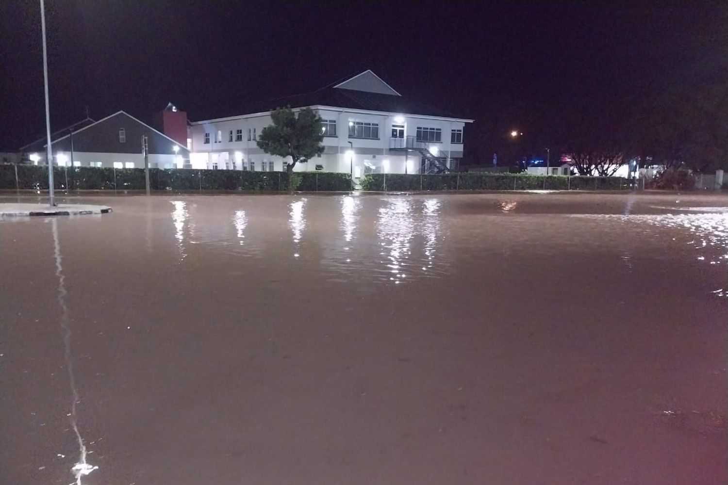
Homes have been flooded and vehicles swept away by floodwaters and overflowing dams and sewerage facilities, to the loss of basic infrastructure and damage to roads, bridges and a Limpopo hospital, said Magwenya.
In agriculture, farmers have suffered crop and livestock losses.
According to the South African Weather Service (SAWS), the conditions have been brought on by the La Niña global weather phenomenon which occurs in the Pacific Ocean but impacts a country like South Africa with above-normal rainfall.
Forecasts indicate this weather pattern will remain in this state during the early part of 2023.
“With the continued strengthening of the La Niña event, the country can expect above-normal rainfall and below-normal temperatures over the summer rainfall areas,” said Magwenya.
“Taken together, these conditions demand the provision of temporary shelters, food and blankets to homeless families and individuals and the large-scale, costly rehabilitation of infrastructure.”
With the declaration of the national state of disaster, the South African Police Service and the South African National Defence Force, may be required to play a role in the response to the disaster.
“President Cyril Ramaphosa’s thoughts are with affected communities across the country and the President appreciates the way in which entities of government, non-governmental organisations and community-based structures have responded to date.”
SAWS will continue to monitor any further developments relating to these weather systems and will issue subsequent updates as required.
During the latter half of last week and continuing through the past weekend, a slow-moving upper-air cut-off low-pressure system lingered over the interior, causing widespread and often heavy rain over the eastern and north-eastern provinces.
“This extreme rainfall resulted in widespread flooding, with major rivers (especially those transiting the Kruger National Park and lowveld) now being in full flood since the beginning of the weekend.
“The escarpment and lowveld regions of the Limpopo province and particularly the Mpumalanga province have borne the brunt of the flooding, with the southern half of the Kruger National Park particularly affected.
“Many low-water bridges and causeways (including the Crocodile bridge and the causeway at Lower Sabie camp) are flooded, while numerous main roads, including the main road linking Skukuza to Lower Sabie are closed due to flood damage,” SAWS said.
Moreover, the presence of an additional low-pressure system over southern Mozambique and northern KwaZulu-Natal significantly elevated the risk of flooding along the KZN coastline for Saturday night, prompting SAWS to broaden the Orange Level 9 Impact-Based warnings to include a significant portion of eastern KZN.
The public has been urged and encouraged to regularly follow weather forecasts on television and radio.
Updated information in this regard will regularly be available at www.weathersa.co.za as well as via the SA Weather Service Twitter.