
Staff Reporter.
The Capital City of Tshwane has appealed to the residents to stay safe with a drop in temperatures expected in various parts of the country.
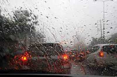
In a statement, the City’s Emergency Services Department said, the possibility of thundershowers with cold and windy conditions is forecast over parts of Gauteng from the afternoon of Sunday.
The city has called on residents to keep warm but remain safe this winter by observing the following safety precautions:
- If there is any fire danger exposure to dwellings like shacks or houses, vegetation or veld fires, dial the toll-free number 107 for emergencies.
- Burning charcoal gives off deadly amounts of carbon monoxide so do not leave it in the house when sleeping.
- Never use fuels that are not designed for your heating unit.
- Improper use of space heaters (izimbawula, braziers and electric, gas and paraffin heaters, among others) should be avoided.
- Unapproved controlled burning must never be carried out (no controlled burning will be approved during this period).
The city said the safety tips are no exhaustive and encouraged citizens to do everything they possibly can to stay safe.
“The City of Tshwane Emergency Services Department will continue to monitor updates by SAWS and issue further notices when required,” it said.
SA Weather Services (SAWS) said that following a relatively dry and warmer-than-usual month of May, South Africans can expect the first significant drop in daytime temperatures over the coming days, with showers and thundershowers possible across most parts and even some snow over elevated areas.
The weather service said this was a result of a developing cutoff low-pressure system (the northwards displacement of a low-pressure in the upper levels of the atmosphere) over the western and southern parts of the country from Sunday into Monday.
“Cut-off low-pressure systems are commonly associated with widespread rainfall, snowfall, strong to gale-force winds, and rough sea conditions in winter.”
The weather service added that cold temperatures, between 12 and 17°C, are expected across the western and southern parts of the country spreading to the central and eastern parts (including the Free State, North West, Gauteng, Mpumalanga Highveld, and the interior of KwaZulu-Natal) on Monday.
Very cold temperatures, with a maximum temperatures below 10°C, with mountain snowfalls are possible over the northern high ground of the Eastern Cape, the eastern high ground of the Western Cape, the southern high ground of the Northern Cape, parts of the Drakensberg and in Lesotho on Monday, it said.
The system is expected to weaken and exit over the country’s southern coast on Tuesday, with rainfall still expected over parts of the Western and Eastern Cape.